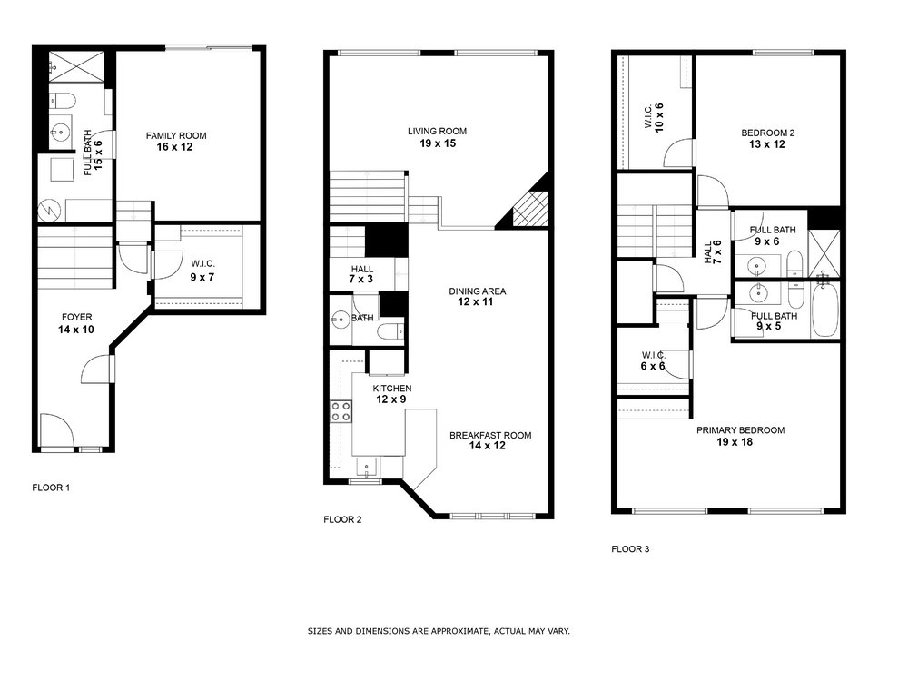
Software companies like Cubicasa are leveraging the power of LiDAR technology to revolutionize the creation of floorplans using an iPhone. LiDAR, which stands for Light Detection and Ranging, is a remote sensing method that uses lasers to measure distances and create detailed 3D maps of environments.
With the introduction of LiDAR scanners in newer iPhone models, such as the iPhone 12 Pro, software developers are now able to harness this technology to capture accurate measurements and depth information of spaces. This allows for the creation of precise floorplans without the need for manual measurements or additional equipment.
Using specialized apps, like Cubicasa's Floorplan App, users can simply walk around a room or property with their iPhone, and the LiDAR scanner will capture the dimensions and layout of the space in real-time. The app utilizes advanced algorithms to process the LiDAR data and generate accurate floorplans automatically.
The benefits of using LiDAR for floorplan creation are numerous. Firstly, it eliminates the need for time-consuming manual measurements, making the process much faster and more efficient. Secondly, the precision and accuracy of LiDAR measurements ensure that the generated floorplans are highly reliable and consistent.
Moreover, LiDAR technology enables the capture of detailed 3D data, allowing for a more immersive and interactive visualization of floorplans. Users can explore the space from different angles and perspectives, gaining a better understanding of its layout and potential.
With the ability to capture accurate measurements and depth information, LiDAR-enabled apps are revolutionizing the real estate industry by providing fast, precise, and immersive floorplan solutions.
Click here to read the interview I recently gave to Cubicasa, where I discuss the latest trends and advancements in real estate technology.

